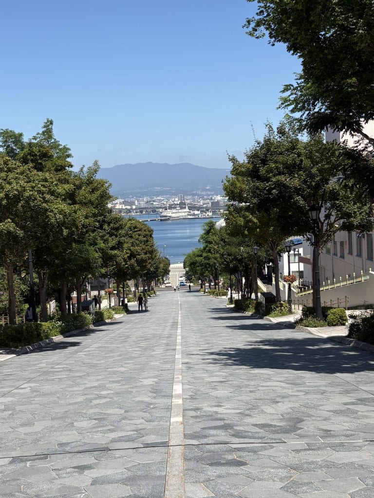
Hokkaido
Driving in Hokkaido
What the roads are actually like, what changed on 1 September 2026, and the ¥50,000 hole in the insurance advice everyone repeats.
Read the sheet →Surveyed to date · 9 corridors · 1,358 km
Every distance, gradient and journey time here is computed from real coordinates — OpenStreetMap road data through an open-source routing engine, and the national elevation model for the passes. Shaded corridors are written up. The hairlines are next.
Coverage
Latest sheets
Hokkaido
What the roads are actually like, what changed on 1 September 2026, and the ¥50,000 hole in the insurance advice everyone repeats.
Read the sheet →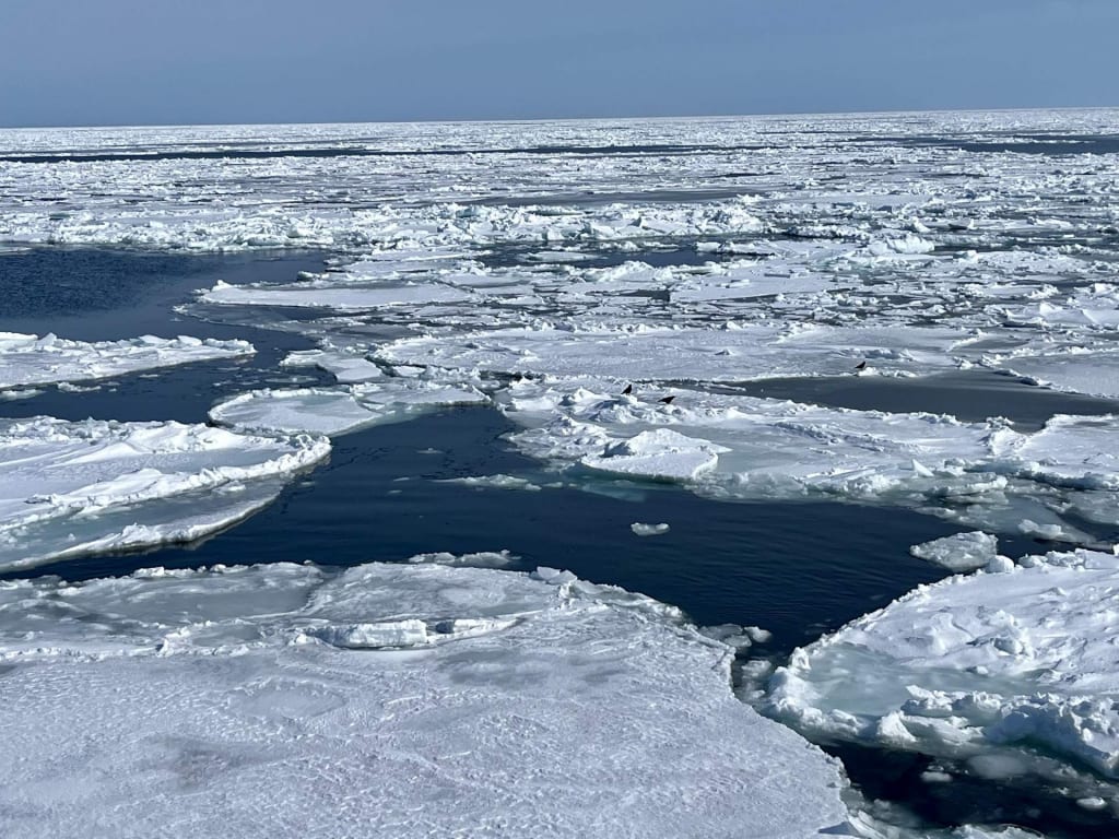 Route 243 230 km
 Sheet 05 · Eastern Hokkaido · Okhotsk and Kushiro
Three lakes sit in a row across the eastern side of the island, each one the flooded scar of something that blew up, and a single day of driving links all three. Two hundred
Read the sheet →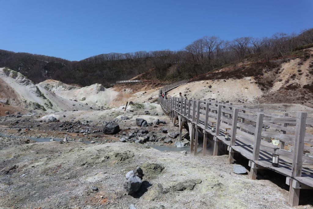 Hokkaido Route 2 46 km
 Sheet 04 · Southern Hokkaido · Iburi
Forty-six kilometres from a boiling crater to a caldera lake, over a pass that tops out just under nine hundred metres — hell valley and its ten waters, the Orofure climb, a mountain that redrew the map three times in a century, and fireworks every night until the end of October.
Read the sheet →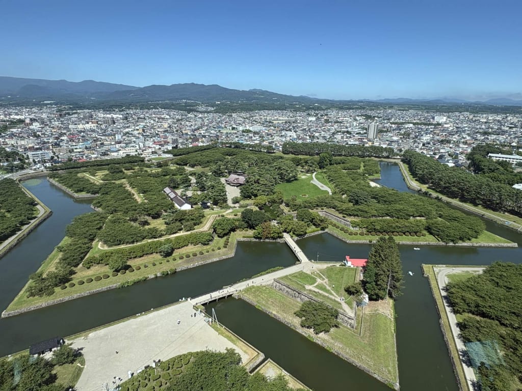 Route 5 290 km
 Sheet 03 · Southern Hokkaido · Oshima
Close to three hundred kilometres down the island's southern spine to Hakodate — the paperwork, the coast road versus the toll road, a lake under an active volcano, and the port city with the three-star night view.
Read the sheet →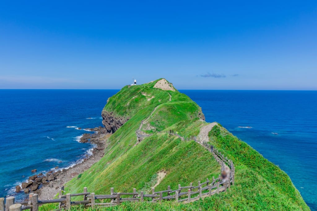 Route 229 70 km
 Sheet 02 · Western Hokkaido · Shiribeshi
Seventy kilometres of cliffs, tunnels and improbably blue sea out to Hokkaido's only marine park — with a whisky distillery on the way, and a season that decides everything.
Read the sheet →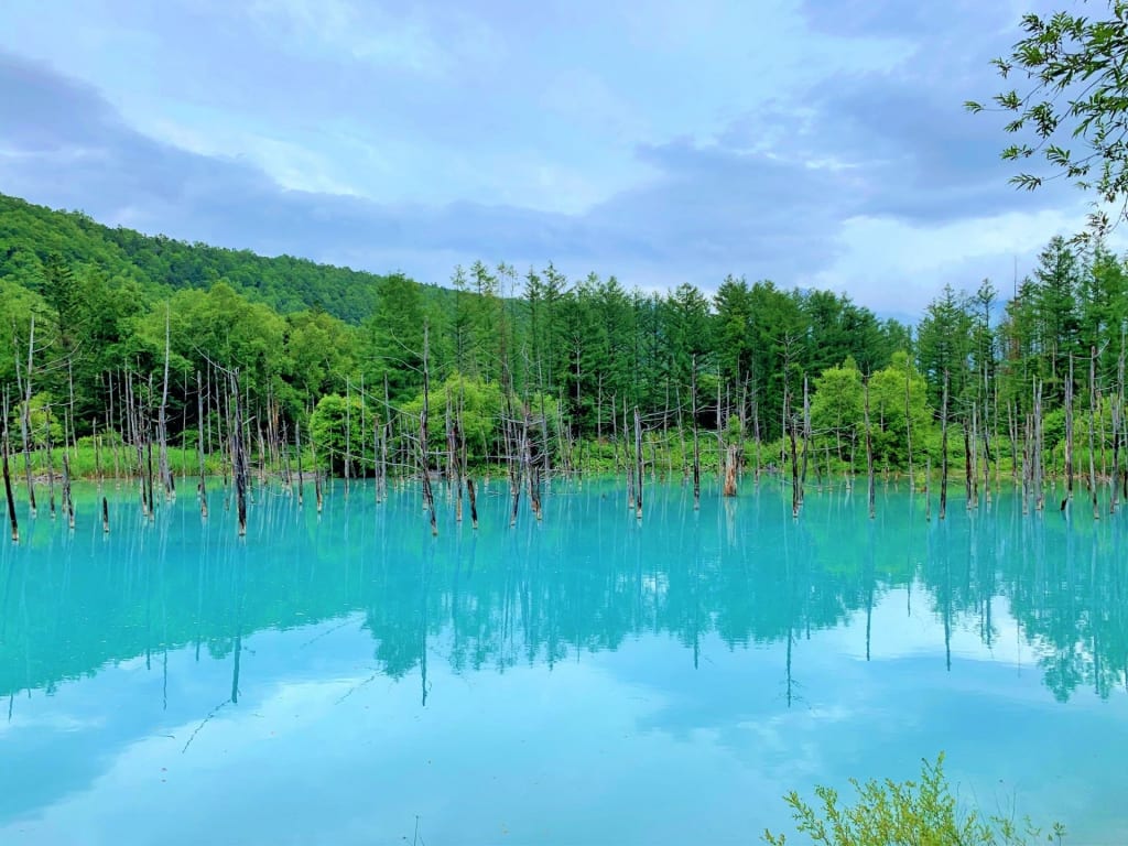 Route 237 60 km
 Sheet 01 · Central Hokkaido · Kamikawa
Sixty kilometres of patchwork hills, lavender and one improbably blue pond — and why it still takes the better part of a day.
Read the sheet →